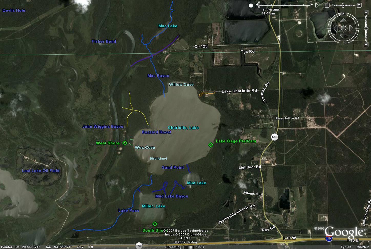
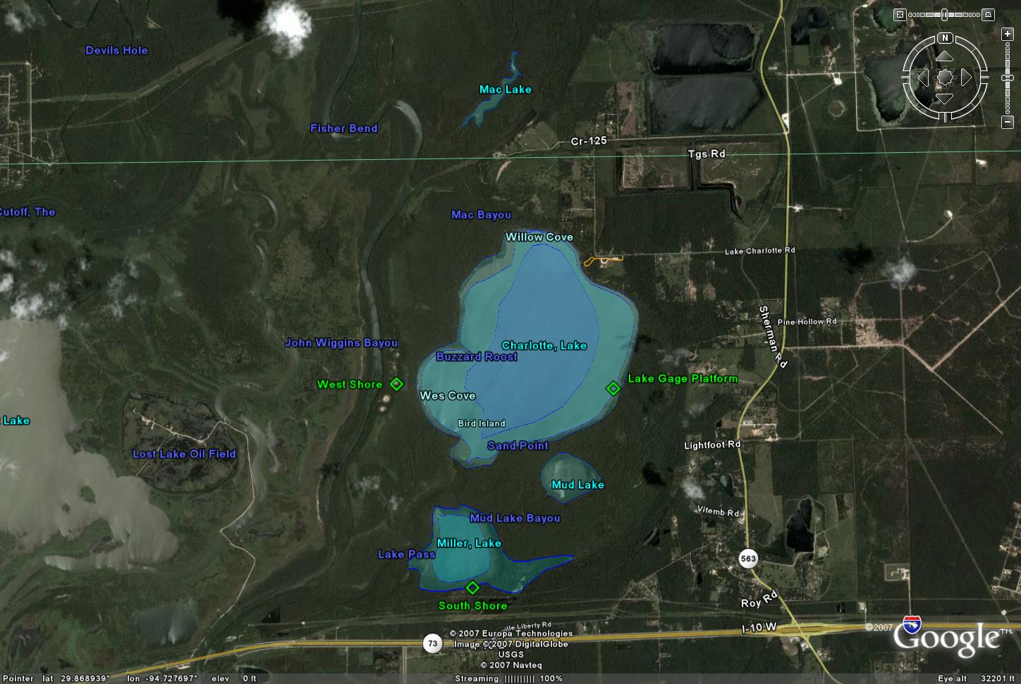
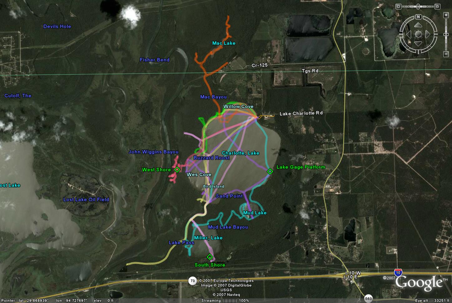
Google Earth KMZ data. This includes my notations of channels,
significant features, lake bottom measured heights and estimated contours, as well as GPS tracks
of my various trips. Here are some snapshots of the
Lake Charlotte region from Google Earth.
If you haven't installed Google Earth on your computer (it's free), you can view the KMZ data
by pasting its path into the search string of Google Maps.
USGS Gage Height
The Lake Level Gage is located in the southeast corner of Lake Charlotte.
It is worth checking the lake level prior to driving out there to ensure that the lake has enough
water to be navigable (7 feet is adequate, I consider 8 to 11 ideal).
Note that the gage height is not referenced (zeroed) to sea level,
but rather to -5.81 feet below sea level - this is good to know when attempting
to correlate lake levels with local topography, but otherwise not terribly relevant.
I have measured the gage height of the lowest point in the lake (pretty near dead
center of the lake) as about 4.6 feet, making the deepest part of the lake about
1.2 feet below sea level, and the floor of the mouth of the exit channel just about
level with sea level..
Detailed Trip Reports (Others are embedded in the KMZ file) Trip Reports
Getting There From the Greater Houston Area
Start off by getting onto I-10 heading east any way that’s convenient. Cross the
Trinity River (it is a pretty obvious high bridge), then take the second exit beyond
it – Exit 1080 (I think), for Hwy 563 (Anahuac).
Turn left onto Hwy 563. Follow
563 north for 2.8 miles then turn left onto Lake Charlotte Road (look for the sign
for the Christmas tree farm).
Follow Lake Charlotte Road 1.1 miles west to Cedar
Hill Park (on the left). This is poorly marked, but is a lime rock (gravel) road
directly across from a small cemetery beside a run-down-looking mobile home. Basically,
if you reach a 90 degree turn in the road you’ve gone too far.
Once inside Cedar
Hill Park just follow the park road until you reach the lake, and park anywhere
on the edge of the road there. There’s also public restrooms at the park, and you’ll
likely see other paddlers.
Pictures
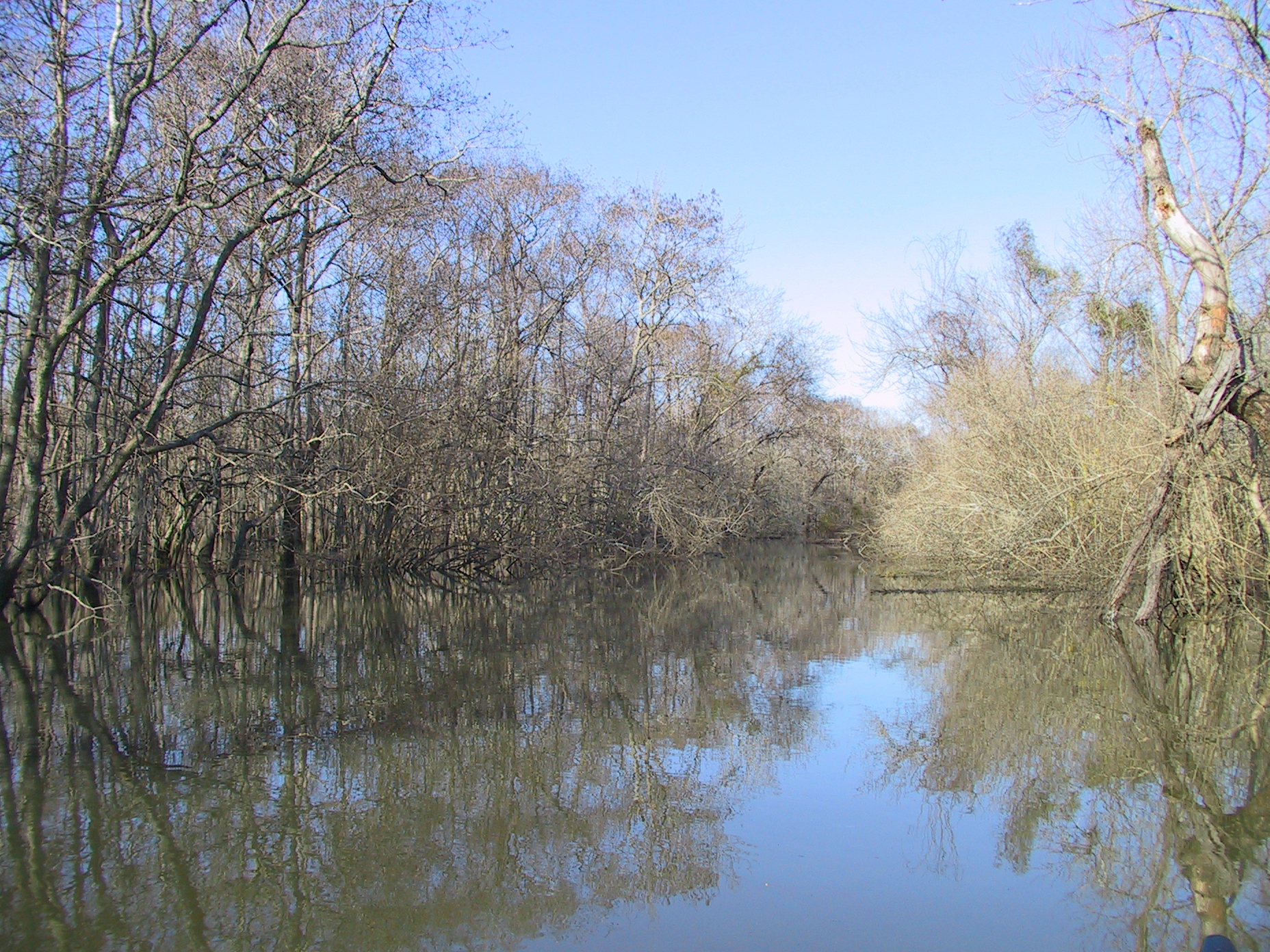
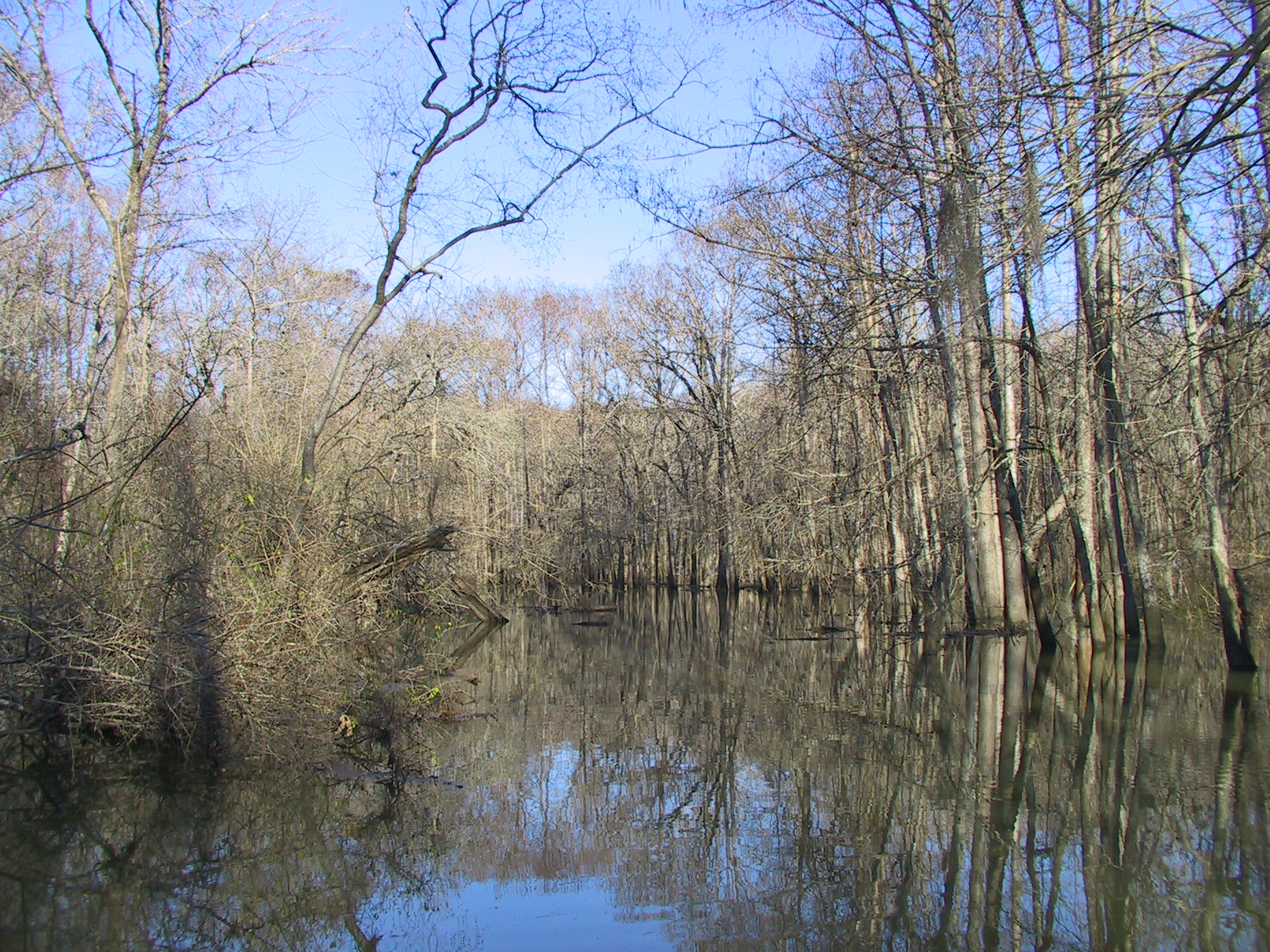
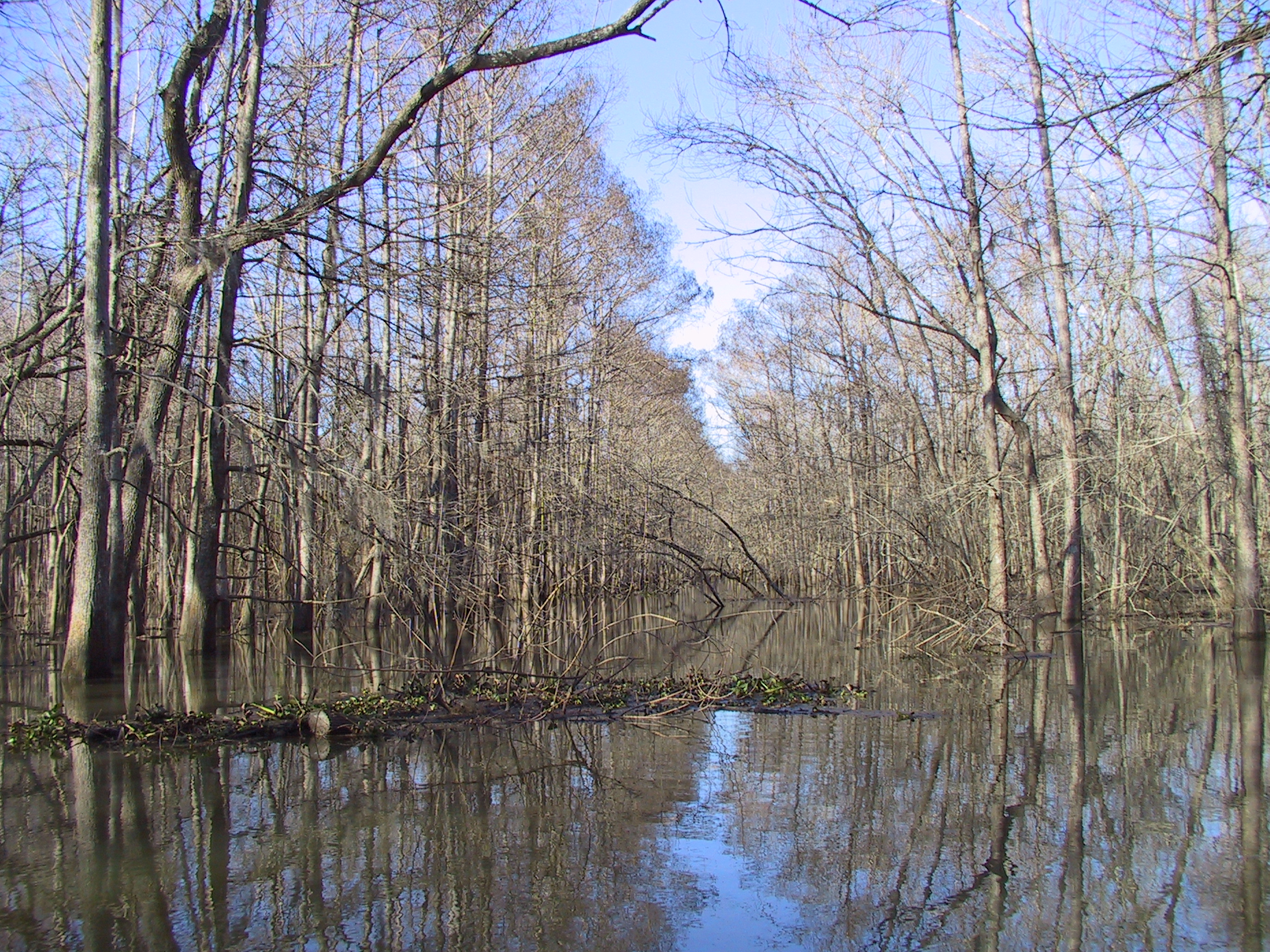
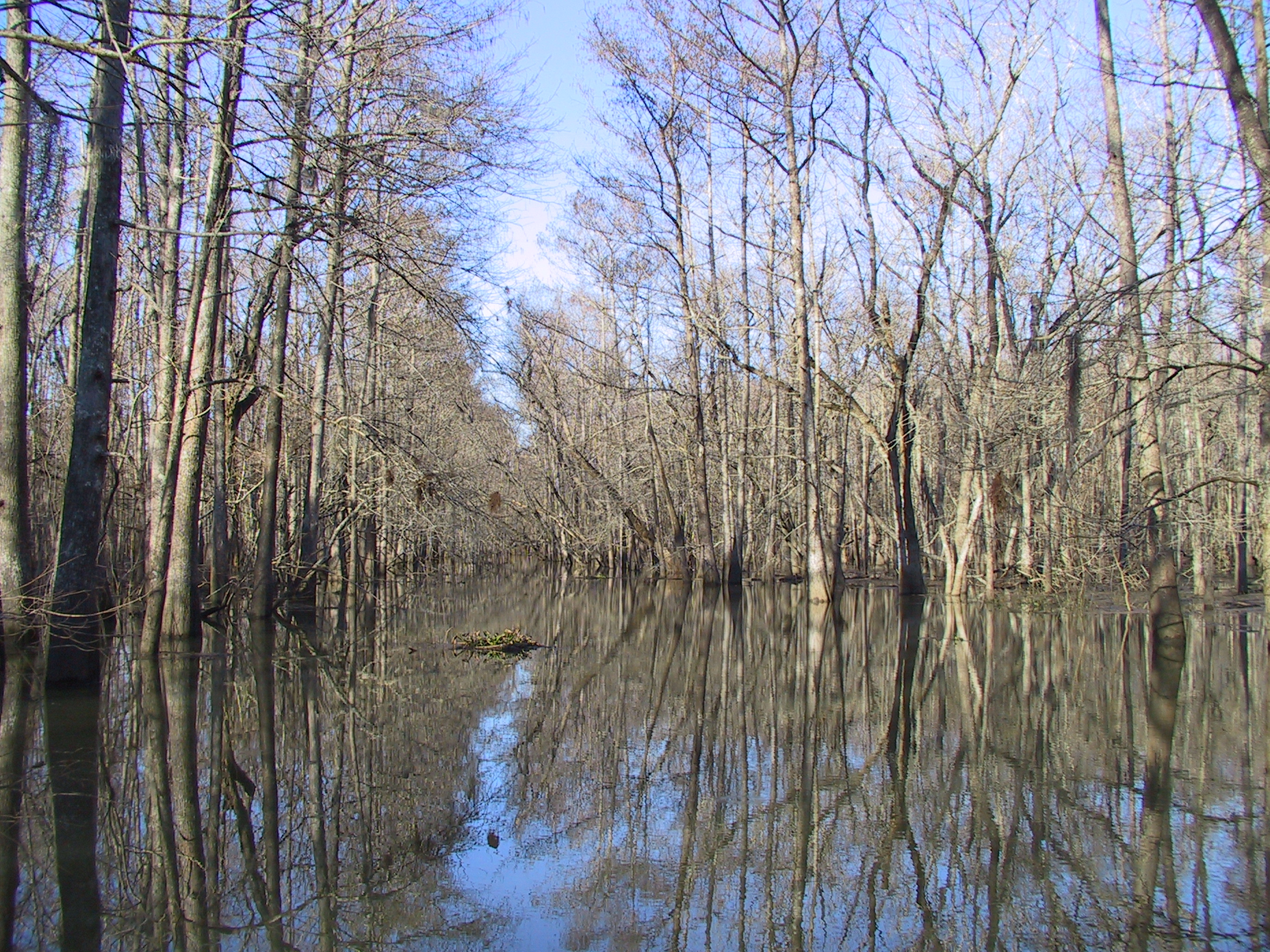
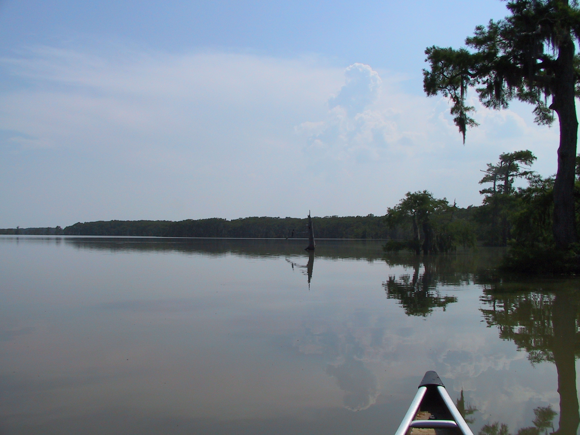
Here are a few views of the Lake Pass channel (winter, first visit January 2007),
all pointing up-channel:
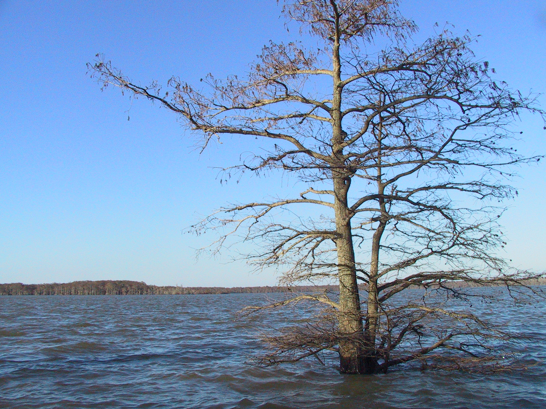
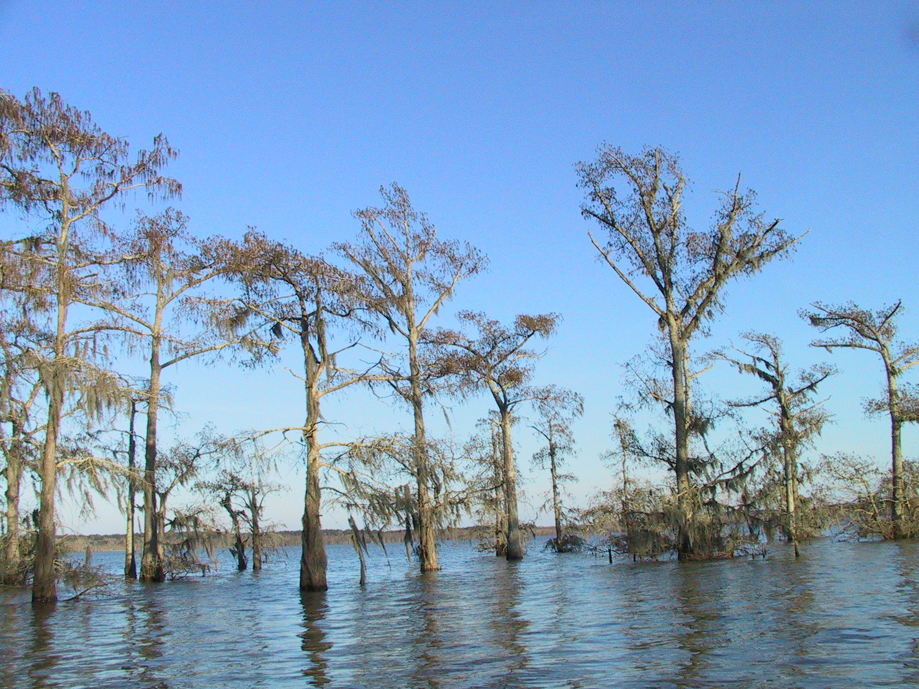
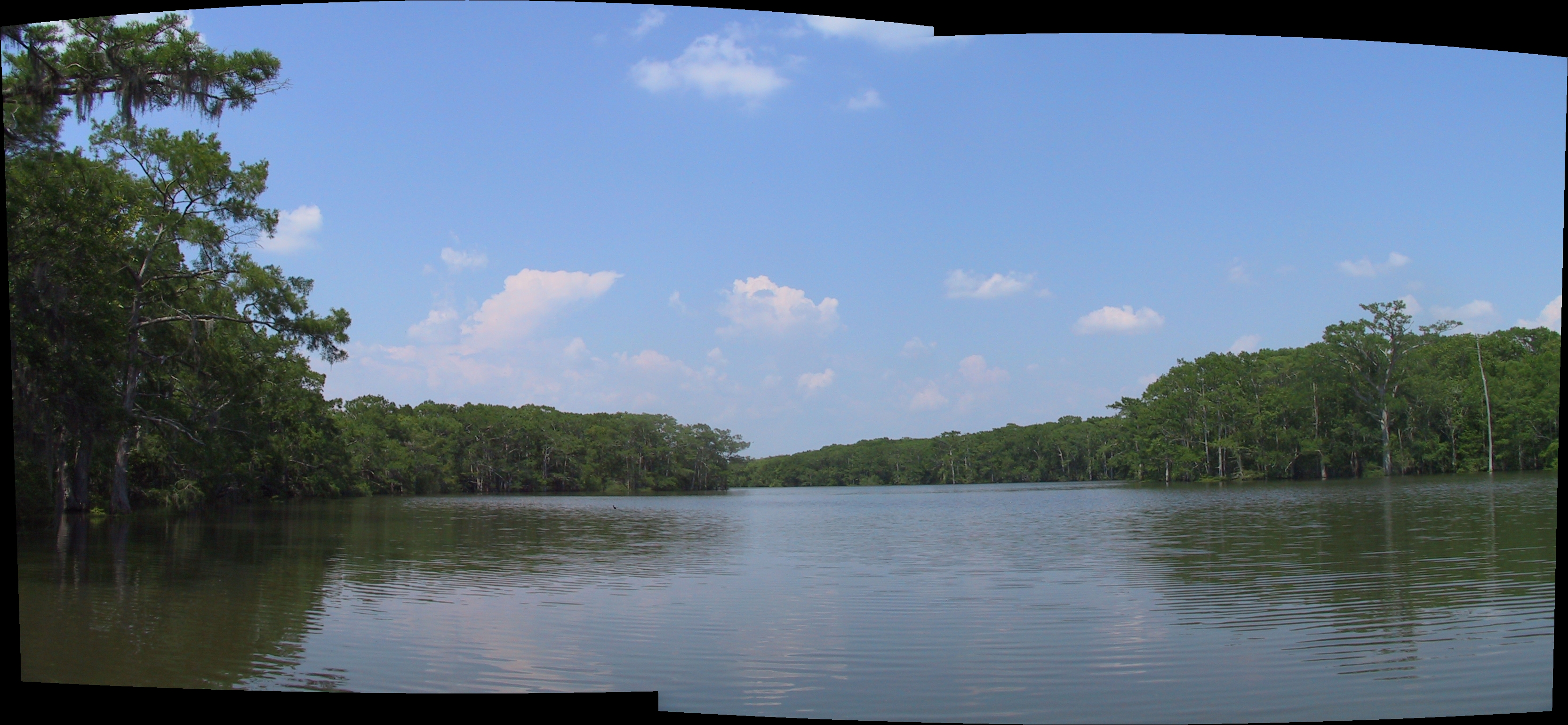
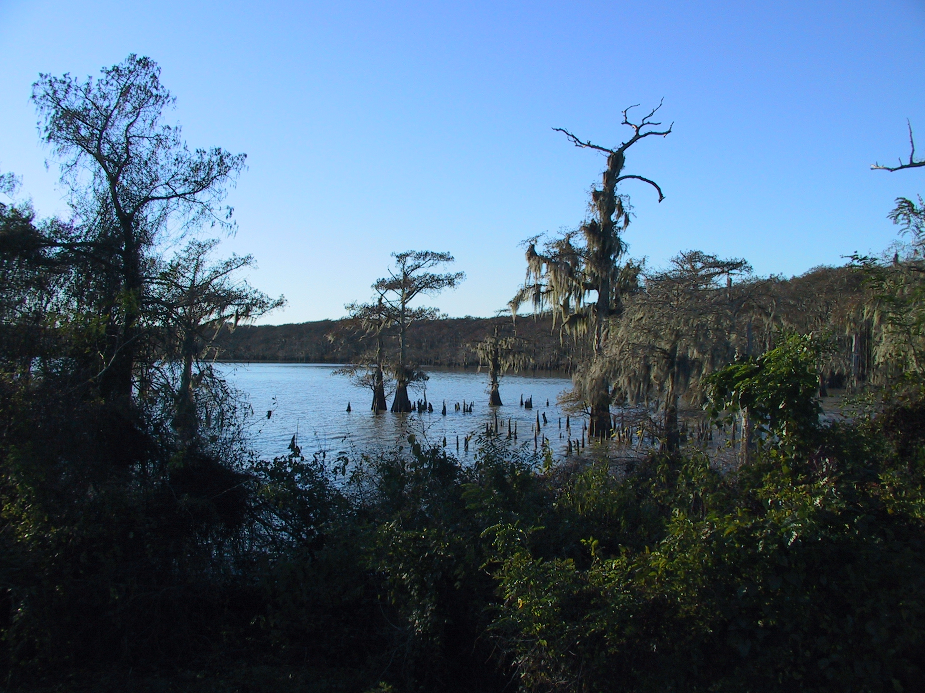
Views of Lake Charlotte (winter, first visit January 2007)
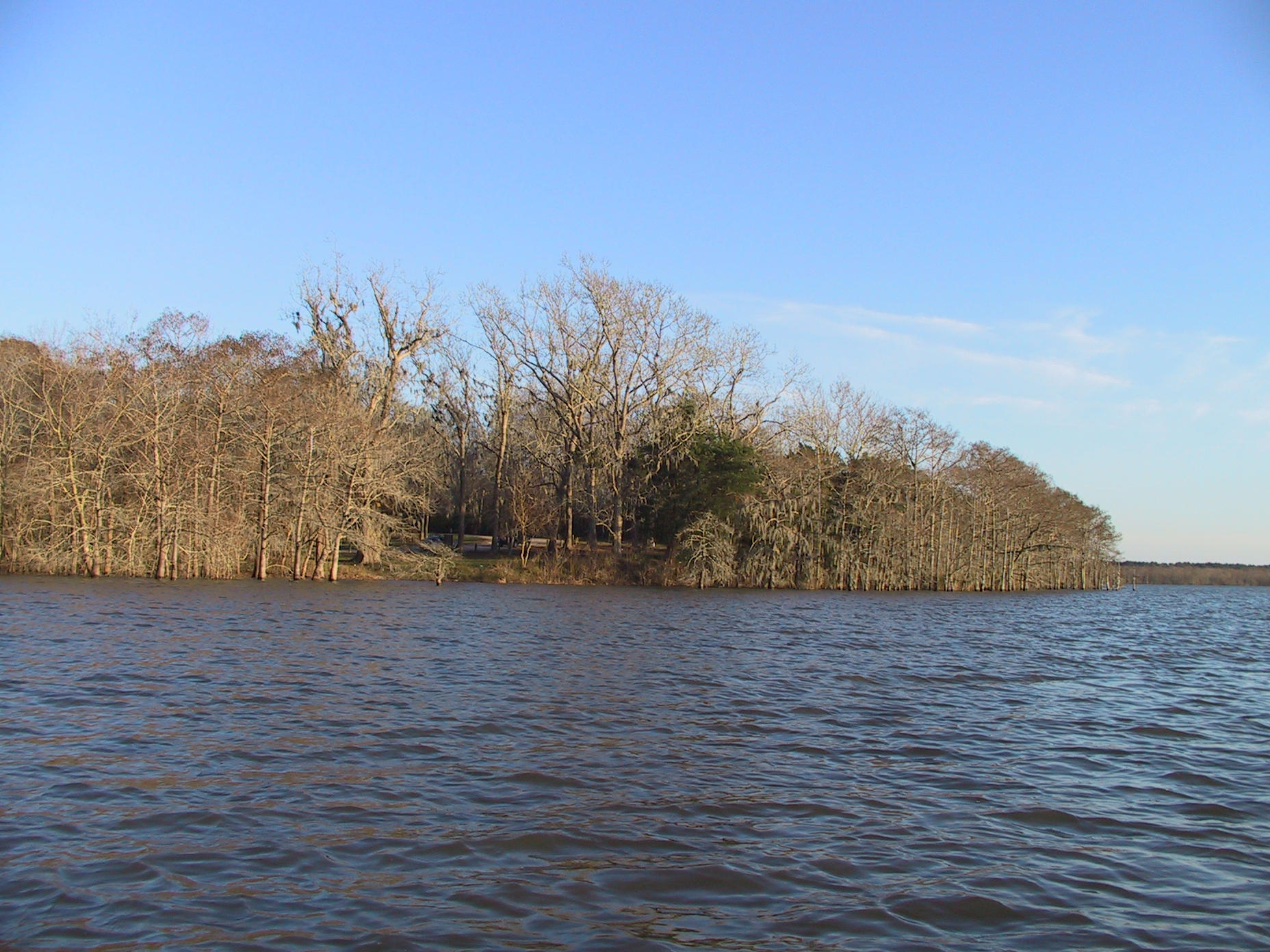
. View of put-in at park from lake
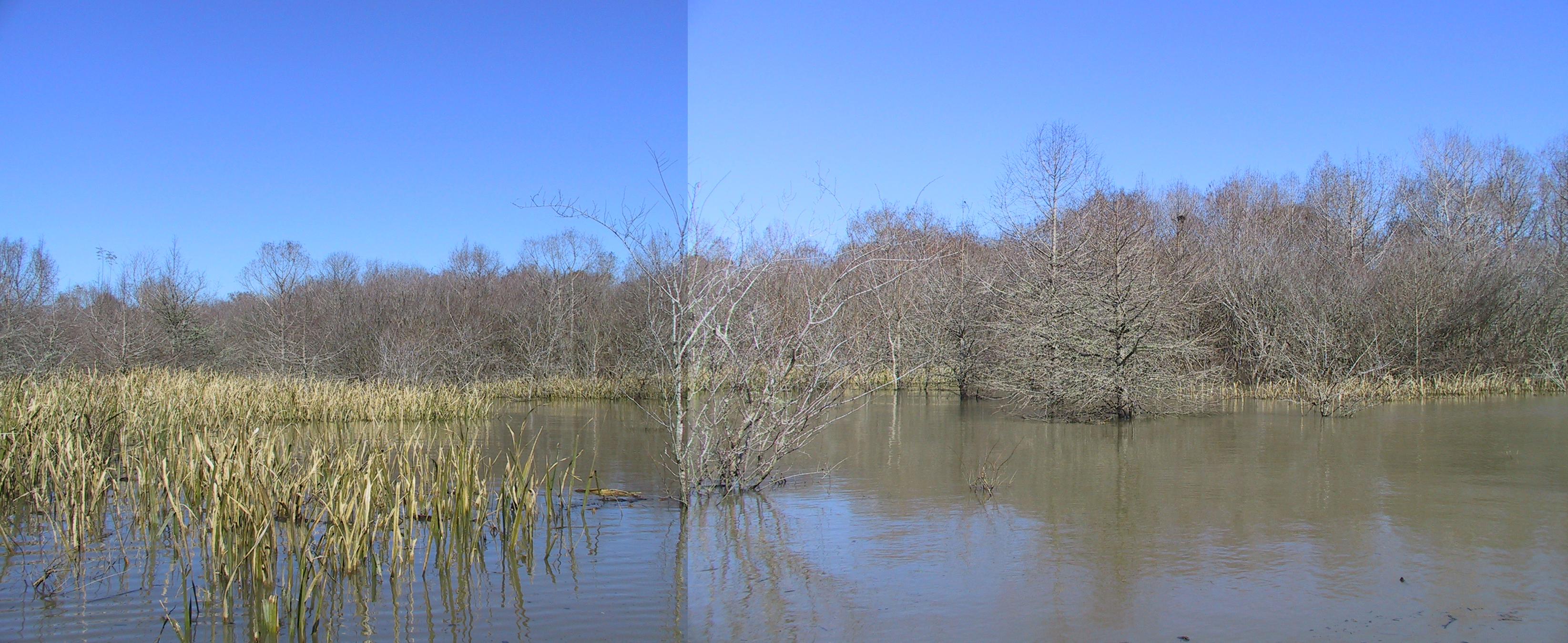
The Western Marsh to the shore of the Trinity Marsh - January
28 trip into west Marsh.
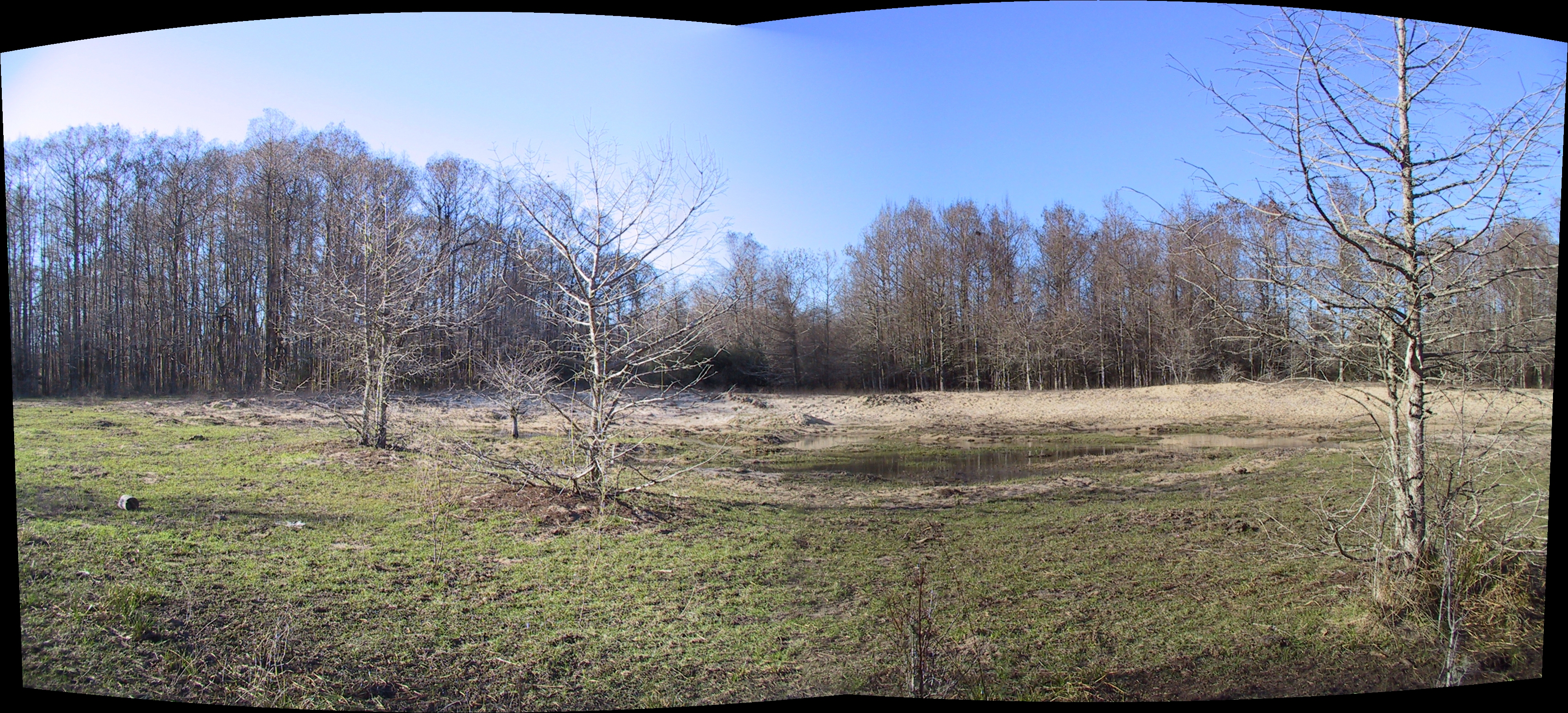
Shell Midden - January
28 trip into west Marsh.
This particular midden appears to have been mined for sand at some point, and on
this occasion the interior was a shallow pond. The midden immediately to the
south was dug-out even further and contains an even more prominant pond, though
the others appear more-or-less intact. I hiked a fair distance to the north,
visiting addional (less prominant) middens, and walked to the shore of the Trinity.
While
hiking about I noticed abundant signs of cattle (tracks and manure no more than
a few days old), plus encountered groups of black wild pigs at several locations,
which always moved away from me.
Water separates the initial midden from the next to the south, and the one beyond
that. I used the canoe to traverse the cypress marsh and visit each of them.
From the southernmost mound, at the southeast corner, I found a bunch of cactuses
growing along the shore. Also, from that location I could see open water in
open marshes to the south and southeast of that location. Later I used the canoe
to visit the marsh to the southeast, contemplating bushwacking directly to Lake
Charlotte, but found it bordered by an impenetrably dense stand of low branching
trees. In fact, it appears that access to the boundary islands from Lake Charlotte
is substantially obstructed by this sort of wooded marsh, and that I had lucked
into one of the few passes. I had to retrace my path through the cypress marsh,
then found a shortcut back into the open marsh and finally back out into the cypress
marsh bounding Lake Charlotte via the same red ribbon tagged route I'd earlier entered
through.
MORE PICS
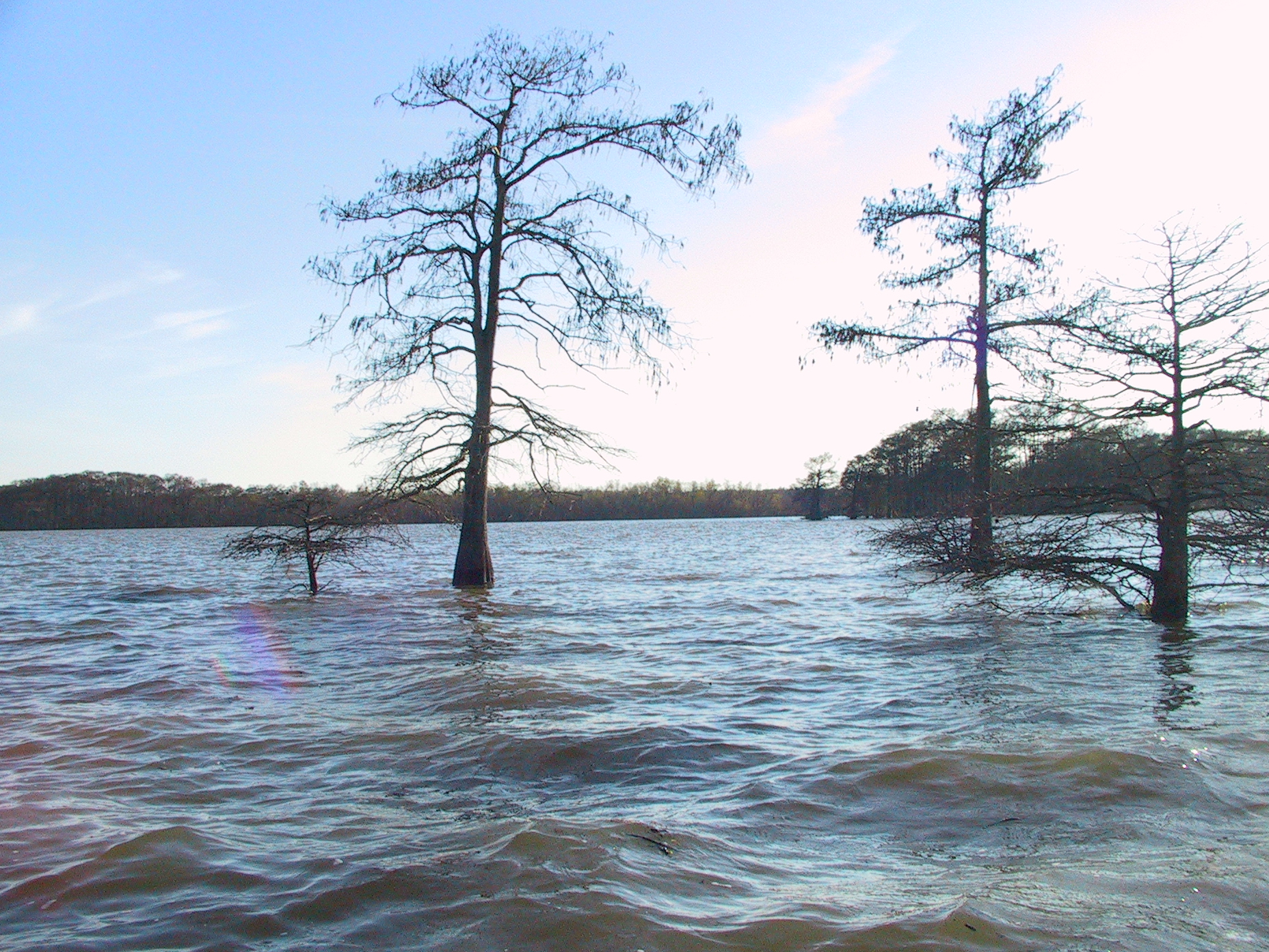
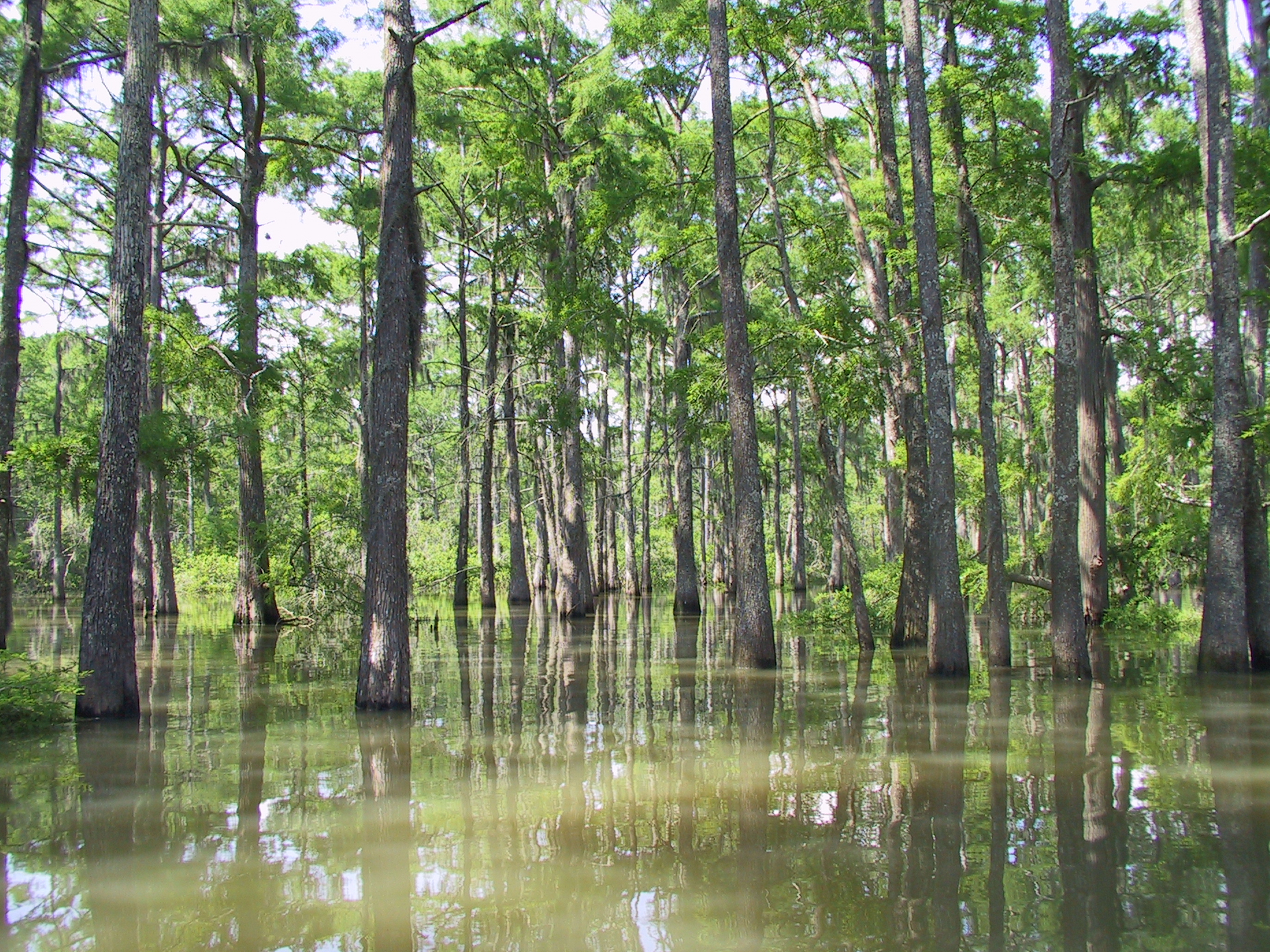
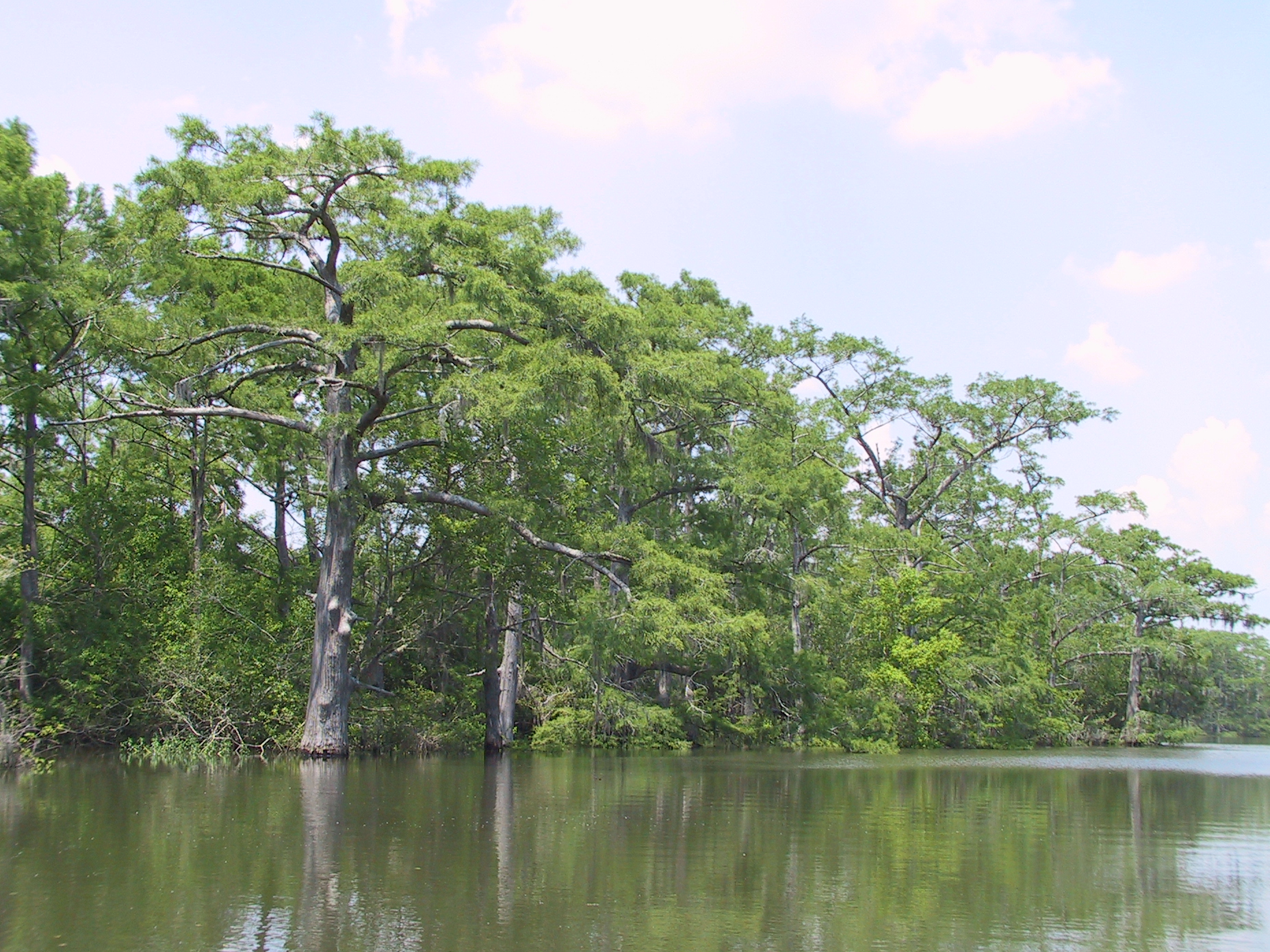
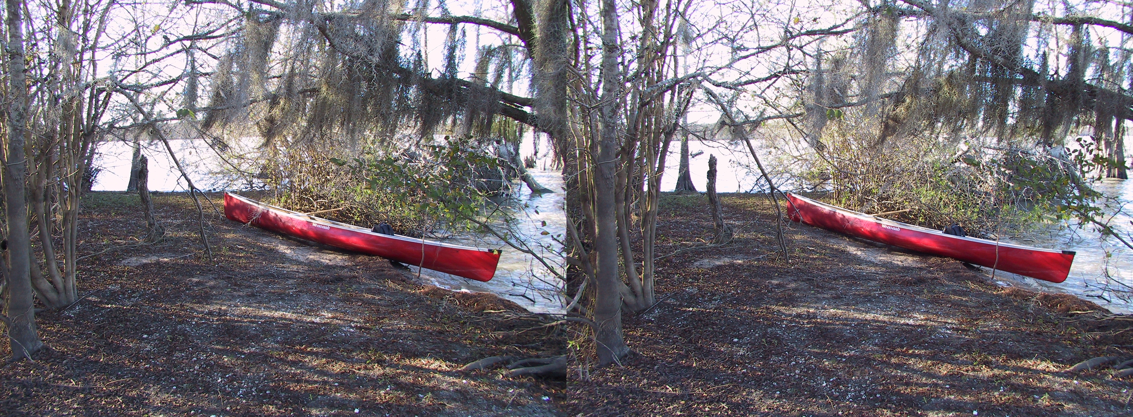
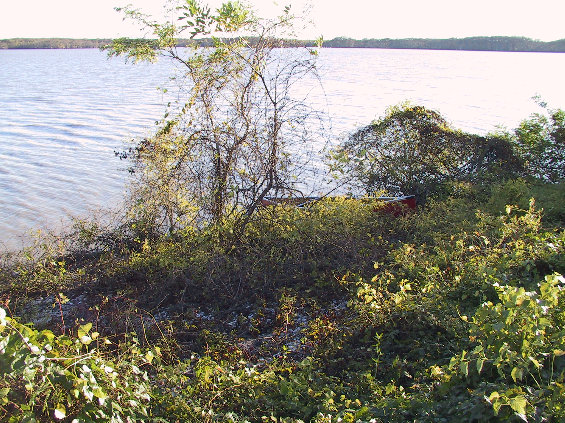
Here's a couple of more recent pics of Lake Charlotte (Summer):
And the next 3 are views from Mac Lake, up Mac Bayou to Lake Charlotte's north
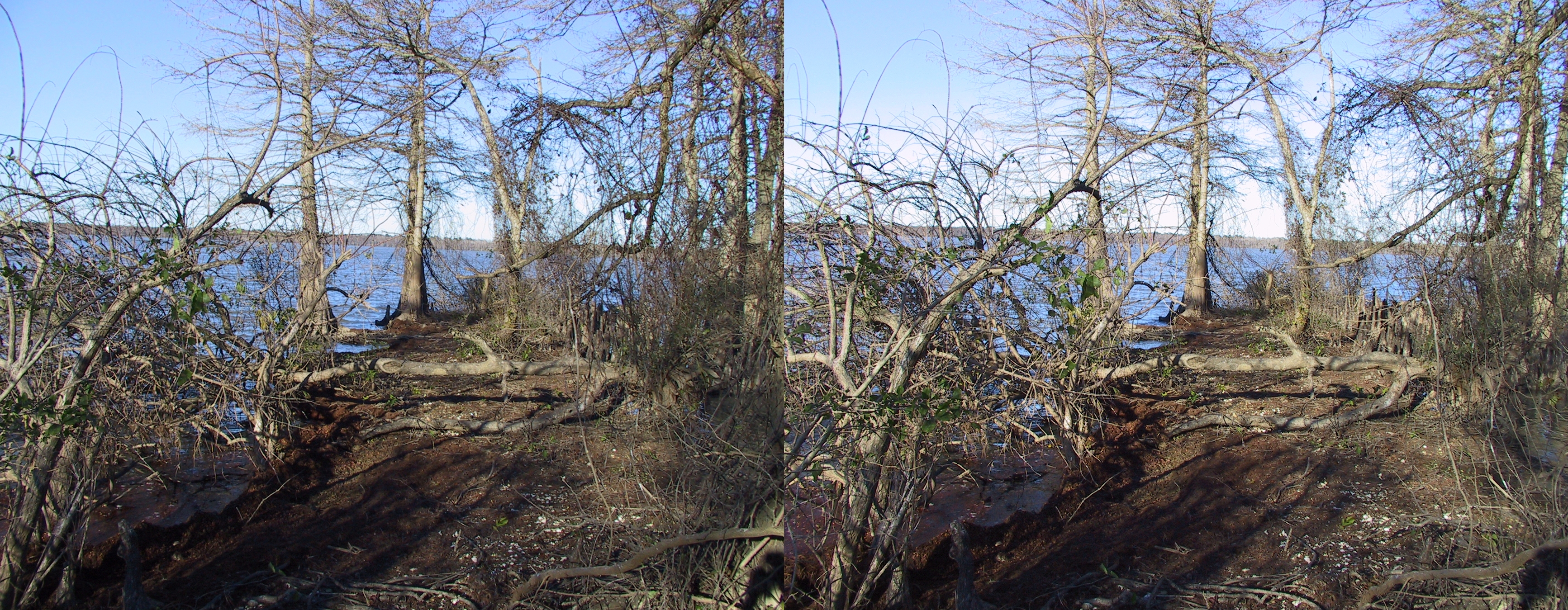
Sand Point (Cross-eyed stereo pair) - facing ~west
Bird Island (Cross-eyed stereo pair) - facing ~north